Tour American Battlefield Trust-Preserved Battlefields in Three Days

Visit some of the Civil War’s most famous battlefields, with an emphasis on seeing some of the hallowed ground preserved over the past 30 years by the American Battlefield Trust and its partners. These actions range from 1861 at Ball’s Bluff to the 1864 Battle of the Wilderness.
Before you go:
- Print or download the Tour Map.
- Watch the action with the Fredericksburg Animated Map, Overland Campaign Animated Map, and Gettysburg Animated Map.
- Explore the Virtual Tours: Fredericksburg Virtual Tour, Chancellorsville Virtual Tour, and Gettysburg Virtual Tour.
- Download the following free apps, for more detail and touring assistance: Fredericksburg Battle App, Chancellorsville Battle App, Overland Campaign Battle App, Brandy Station Battle App, and Gettysburg Battle App.
- And for the whole story, read the Trust’s new book, Fighting the Second Civil War: A History of Battlefield Preservation and the Emergence of the American Battlefield Trust, by Bob Zeller.
Stop #1: Fredericksburg
Time: 4 hours
Details: https://www.nps.gov/frsp/planyourvisit/fredericksburgbattlefield.htm
The Battle of Fredericksburg was one of the Confederacy’s most lopsided victories. From December 11-15, 1862, Union troops tried to dislodge Southerners from fortified lines near Fredericksburg. Despite some temporary Federal success, the Confederate position held strong for the remainder of the battle. More than 18,000 soldiers fell during the battle—fewer than one-third from the South. The American Battlefield Trust thus far has saved 247 acres at the Fredericksburg battlefield.
Fredericksburg is also the recognized birthplace of the modern Civil War battlefield preservation movement. On July 18, 1987, 27 Civil War historians and enthusiasts met at what was at the time Arbuckle's Restaurant and organized a grassroots preservation organization devoted to saving Civil War battlefields by buying the land. They named it the Association for the Preservation of Civil War Sites, which later merged with the American Battlefield Trust. The APCWS made its first save in 1988, and every year since then, the movement has saved new land.
What to do:
Start at the National Park Service's Fredericksburg Battlefield Visitor Center, 1013 Lafayette Boulevard.
- Watch the 22-minute orientation film.
- Find out what Ranger Programs are scheduled.
- See the exhibits and walk the historic Sunken Road.
Tour the Fredericksburg battlefield. You have several options:
- Use the American Battlefield Trust's free Fredericksburg Battle App on your smart phone.
- Follow the NPS Auto Tour Route and get out and explore each stop.
- Purchase a touring CD from the Visitor Center bookstore.
Don’t Miss:
- Chatham – This Georgian-style, 1771 plantation home at 120 Chatham Lane served as a Federal artillery platform, hospital, and headquarters. Famous visitors to the home include George Washington, Abraham Lincoln, Clara Barton, and Dr. Mary Walker. This is the second stop on the regular NPS battlefield tour.
- Lee’s Hill – Confederate Gen. Robert E. Lee observed the battle from this stop on the NPS tour. The sweeping view he had from these heights in 1862 is now obscured by the tree-covered hillside.
- Union Breakthrough – Union troops advancing from Slaughter Pen Farm in Spotsylvania County broke through Gen. ‘Stonewall’ Jackson’s lines in the area of this tour stop before furious Confederate counterattacks forced them back. This was the only spot in the Confederate line to be penetrated by Union troops during the 1862 battle.
- Prospect Hill – Confederate artillery positioned on this hill was a main objective of the Union assault on the southern end of the battlefield. Despite initially taking the position in a bloody assault, Union forces were driven off the hill, effectively ending the Battle of Fredericksburg. This is the final stop on the NPS tour.
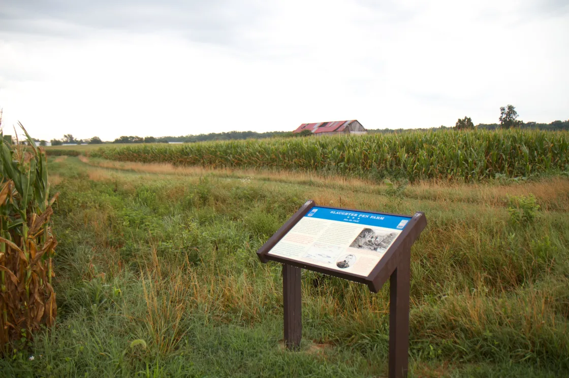
- The Slaughter Pen Farm – The site of one of the greatest preservation victories by the American Battlefield Trust, this 208-acre site saved and owned by the American Battlefield Trust witnessed vicious fighting on the afternoon of December 13. No fewer than five Federal soldiers were awarded the Medal of Honor for their actions in and around this field. The farm lane leading to the battlefield walking trail and interpretive signs is at 11190 Tidewater Trail.
If you have time:
- Upper Pontoon Crossing – Near 3:30 p.m. on the afternoon of December 11, 1862, Federal soldiers from Michigan and Massachusetts ferried themselves across the Rappahannock River here (1399 Sophia Street) and wrestled control of the city from Mississippi and Florida troops.
- Pelham’s Corner is where Alabama artillerist John Pelham positioned his cannon to enfilade the Federal left flank, complicating the Union assault at Slaughter Pen Farm. Park in the rear of the Family Dollar store, 10744 Tidewater Trail, near the corner of Benchmark Road, to see markers at this site, which was saved by the Central Virginia Battlefields Trust.
Stop #2: Chancellorsville
Time: 4 hours
Details: www.nps.gov/frsp/index
The Battle of Chancellorsville is regarded by many as Gen. Robert E. Lee's greatest victory. From April 29 to May 6, 1863, Lee's army battled Gen. Joseph Hooker's Union Army of the Potomac around the wilderness crossroads of Chancellorsville. Although outnumbered more than 2-to-1, Lee split his undersized force no fewer than three times in the face of a superior foe. In the end, Lee was victorious, but it came at a high cost, including nearly 22% of his army and the loss of 'Stonewall' Jackson, who was wounded by his own men while scouting the battlefield after dark. Jackson died of pneumonia on May 10, 1863.
In one of its most important battles, the American Battlefield Trust in 2004 successfully fought off efforts to develop the property, and then bought and preserved about 140 prime acres fronting Route 3 that comprise heart of the first day’s battlefield.
What to do:
Start at Lick Run Community Center on State Route 3 (6159 Plank Road), which is in the heart of the first day’s battlefield at Chancellorsville.
- Take the walking trail around this battlefield, which includes interpretive signs installed by the Trust.
Then proceed to National Park Service's Chancellorsville Visitor Center (9001 Plank Road).
- Watch the 22-minute orientation film.
- Find out what Ranger Programs are scheduled.
- See the exhibits and walk the "Wounding of Stonewall Jackson" trail.
Tour the NPS battlefield. You have several options:
- Use the American Battlefield Trust's free Chancellorsville Battle App on your smart phone.
- Follow the NPS Auto Tour Route and get out and explore each stop.
- Purchase a touring CD from the bookstore.
Don't miss:
- Lee-Jackson Bivouac (NPS tour stop 5) is where the two famous generals met for the last time.
- Jackson's Flank Attack Site – On the afternoon of May 2, 1863, the right flank of the Union Army was located in this vicinity. Near 5:15 p.m., the first wave of Stonewall Jackson's flanking column struck and decimated the unsuspecting Federals. Within hours, the Union flank was no more and Stonewall Jackson lay wounded by his own men. The American Battlefield Trust and its partners have preserved hundreds of acres at the site of Jackson’s massive flank attack, which is stop 8 on the NPS tour route.
- Hazel Grove – This critical plateau at tour stop 9 served as an excellent spot for Confederate artillery to attack Union infantry on May 3, 1863.
- Fairview, stop 10, was the backbone of the Federal defensive line at Chancellorsville. Captain Clermont Best placed some 30 cannons in this area, and repelled wave after wave of Confederate attacks.
Stop #3: The Wilderness
Time: 1 hour
Details: www.nps.gov/frsp/index
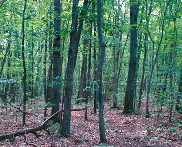
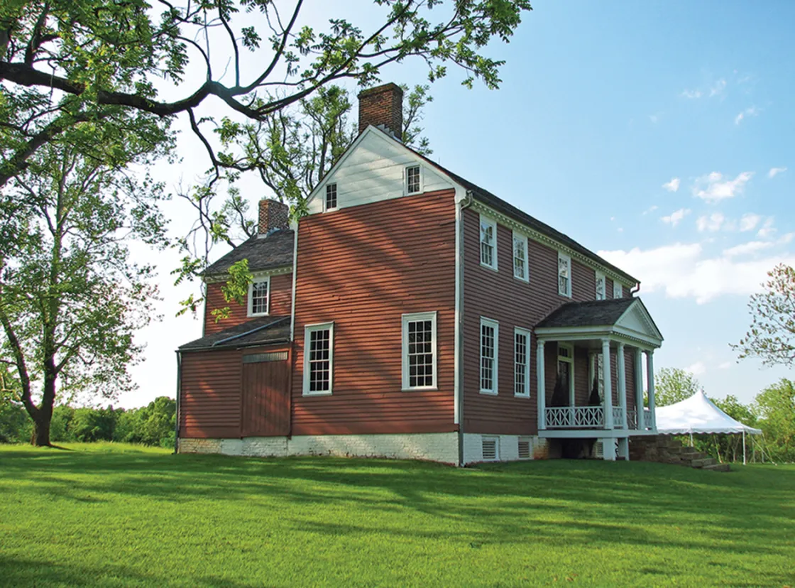
On May 5-6, 1864, the Union Army of the Potomac once again locked horns with the Army of Northern Virginia in the dense thickets known as the Wilderness of Spotsylvania. Over the course of two days, the two armies fought to a bloody stalemate, inaugurating a new era of violence in the war in the East.
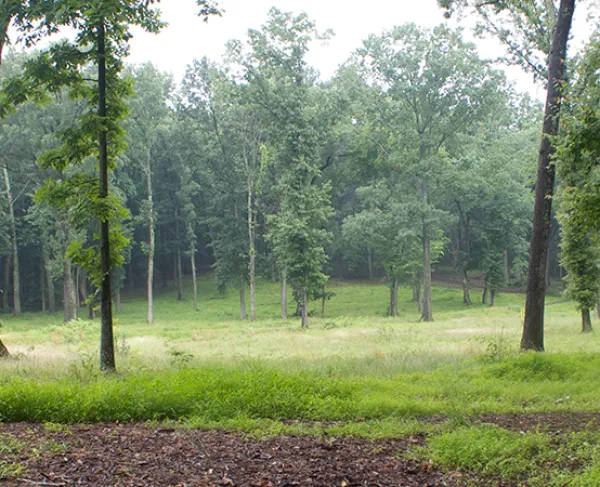
In 2008, Walmart Corporation began planning to build a Supercenter in the Wilderness. After a three-year preservation battle waged by the American Battlefield Trust and the Friends of the Wilderness Battlefield Coalition, Walmart agreed to move further west on Route 3 and gave the property to the Commonwealth of Virginia.
What to do:
Start at the National Park Service's Wilderness Battlefield Exhibit Shelter, 35347 Constitution Highway, Locust Grove, Va.
Woodland fires swept across this field — Saunders Field — during the battle, consuming the Confederate and Union soldiers who lay dying after bloody attacks and counterattacks across the field.
- Read the exhibit panels.
- If time allows, you may wish to follow the NPS Auto Tour Route.
- Use the American Battlefield Trust's free Overland Campaign Battle App on your smart phone.
Insider tip: If you want to learn about a key battlefield feature and see the area where the American Battlefield Trust and its partners fought to keep Wal-Mart out of the Wilderness, go to the pull-off at Wilderness Tavern, on the north side of Route 3, just beyond its intersection with Route 20.
Stop #4: Mine Run Battlefield
Time: 15 – 90 minutes (depending on whether you walk the trail).
Details: Mine Run Battlefield
In late November of 1863, Gen. George Gordon Meade attempted to steal a march through the Wilderness of Spotsylvania and Orange counties of Virginia, and strike the right flank of the Confederate army south of the Rapidan River. With winter fast approaching, and the recent Federal victory at Chattanooga, Tennessee, time was of the essence. Delays due to weather, coupled with heavy skirmishing, slowed the Federal advance. On November 27, 1863, the two sides clashed at Payne's Farm. After a short, but intense battle, the Confederates were able to withdraw to fortifications behind Mine Run. More delays plagued the Federal advance. On November 30th, with nearly half of his army arrayed for an assault on the strongly positioned Confederate lines, Meade had second thoughts. He and one of his most trusted subordinates called off the attack against Lee's strongly fortified position. The Federal army withdrew to winter quarters. Mine Run was the great battle that never was.
Today, an interpretive trail includes a portion of the 690 acres that the American Battlefield Trust has saved at Mine Run.
What to do:
Start at Zoar Baptist Church, 31334 Zoar Road (Route 611), Locust Grove.
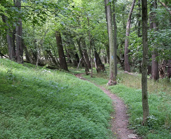
- Walk the 1.5-mile battlefield interpretive trail, marked with historical wayside tablets, located across Route 611 from Zoar Baptist Church.
Stop #5: Cedar Mountain
Time: 1 hour
Details: Cedar Mountain Battlefield
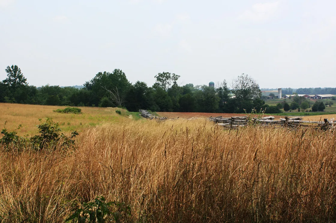
On August 9, 1862, Confederate forces were on the move toward the town of Culpeper, Virginia. Confederate Maj. Gen. Thomas J. 'Stonewall' Jackson hoped to defeat a newly formed and spread-out Union army before it could unite. The two sides clashed just outside Culpeper, in the shadow of Cedar Mountain. A seesaw battle ensued. Confederate forces broke, but Jackson rallied them in one of the more dramatic scenes of the war. In the end, Jackson gained a narrow victory over Federal forces commanded by Maj. Gen. Nathaniel Banks. This Confederate victory allowed Robert E. Lee to shift the war away from Richmond and back into Northern Virginia—opening the door for the Battle of Second Manassas.
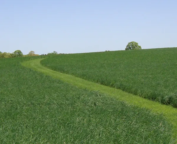
The American Battlefield Trust has saved 498 crucial acres of the battlefield, including the scene of the heaviest action. The Trust has also worked tirelessly to restore the land to its 1862 appearance, allowing visitors the opportunity to see this battlefield as the soldiers saw it.
What to do:
- Walk the half-mile interpretive trail with signs on 150 acres of battlefield saved by the American Battlefield Trust. The trail begins at the parking area near Crittenden Lane and General Winder Road—to which signage will direct you.
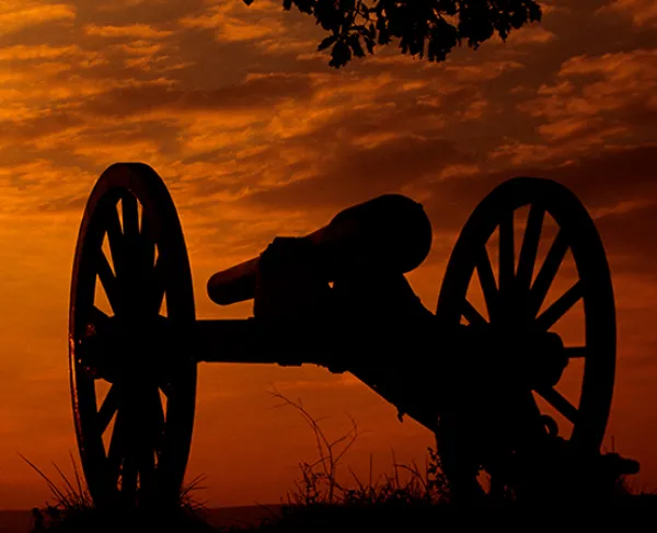
Insider tip: Did you know that the cannons that sit on the Cedar Mountain battlefield once sat on the Gettysburg battlefield? These reproduction artillery pieces flanked Lee's Headquarters along the Chambersburg Pike, but once the American Battlefield Trust acquired that property, the Friends of Cedar Mountain Battlefield refurbished the Parrott guns and moved them to Cedar Mountain.
Stop #6: Brandy Station
Time: 2 hours
Details: Brandy Station Battlefield
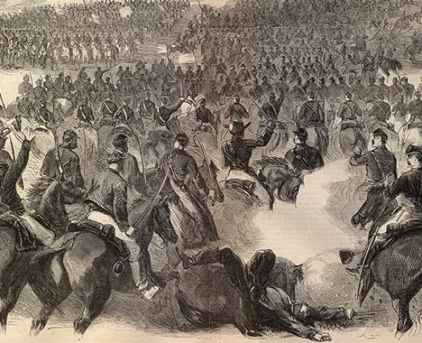
The Battle of Brandy Station on June 9, 1863, involving more than 20,000 men, was the largest cavalry battle ever fought on North American soil. The Union cavalry commander, Maj. Gen. Alfred Pleasonton, anticipated the move and struck Confederate Maj. Gen. J.E.B. Stuart’s men in camp at Brandy Station. Although Stuart claimed a slim victory, the battle proved the fighting mettle of the previously maligned Union cavalry.
The American Battlefield Trust has saved 2,159 acres of the Brandy Station battlefield, including most of the scenes of major fighting. Nearly all of this land retains its wartime character, with vistas similar to those the soldiers had during the battle. Most spectacularly, the Trust was instrumental in preserving Fleetwood Hill, where a number of non-historic homes have been removed and the battlefield has been returned to its 1863 appearance.
What to do:
- Download the Brandy Station Battle App, for more detail and touring assistance.
- Start at Fleetwood Hill, located at 20368 Fleetwood Heights Road. There’s a small parking area near a historic United Daughters of the Confederacy bronze tablet. A short walking trail rings the hill where a telescope helps you see the surrounding features.
- If time allows, two more walking trails await you at nearby St. James Church and at Buford’s Knoll. Brandy Station is one of the three largest sites preserved by the Trust.
- On Saturdays and Sundays from 11 a.m. to 4 p.m., visit the Graffiti House, 19484 Brandy Road, Brandy Station, a wartime structure loaded with Civil War soldier graffiti. The historic house is the headquarters of the Brandy Station Foundation, which has partnered with the American Battlefield Trust to help save the battlefield.
Stop #7: Bristoe Station
Time: 1 hour
Details: Bristoe Station Battlefield
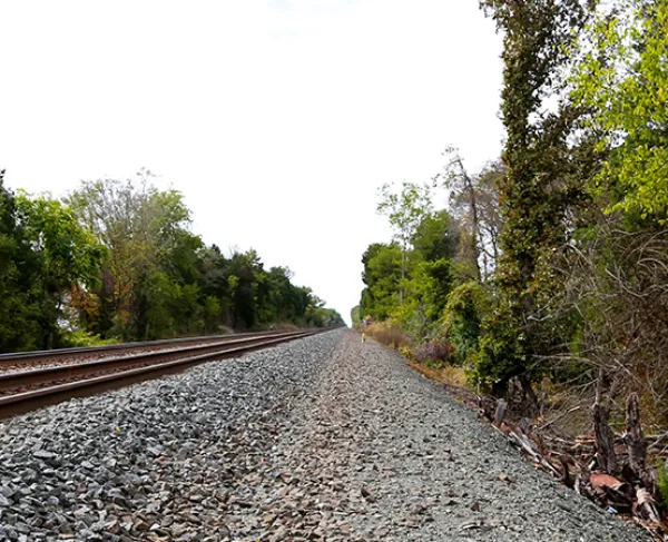
At Bristoe Station on October 14, 1863, Confederate Lt. Gen. A.P. Hill’s corps stumbled upon two corps of the Union army at Bristoe Station and attacked without proper reconnaissance. Union soldiers posted behind an embankment of the Orange & Alexandria Railroad raked the advancing Confederate troops and captured a battery of artillery. Almost 2,000 men fell in the battle.
The Bristoe Station Battlefield Heritage Park represents one of the most notable saves in the history of the American Battlefield Trust. In 2004, the Trust collaborated with Centex Homes and Prince William County to save 133 acres of core battlefield, at the same time allowing the developer to build homes on other land in the tract. Without having to buy the land, the Trust was able to save much of a key battlefield on valuable Northern Virginia property.
What to do:
Start at Bristoe Station Battlefield Heritage Park on Route 619, Bristow Road, Bristow, Va..
- The 140-acre park, opened in 2007, features 2.7 miles of walking and equestrian trail and interpretive signs about the battle.
Stop #8: Ball’s Bluff
Time: 1.5 hours
Details: Ball’s Bluff Battlefield
On October 21, 1861, a Union scouting party crossed the Potomac River at Ball’s Bluff to determine the positions of Confederate troops near Leesburg. When the Union troops encountered Mississippi infantry, a skirmish began that progressed into a battle and a victory for the Southerners. Col. Edward Baker, a U.S. senator and friend of President Lincoln, was killed as the Confederates drove the Yankees over the bluff and into the Potomac, where many drowned and hundreds surrendered rather than risk escape into the river. Of the battle's 1,157 casualties, more than 1,000 wore uniforms of blue.
The American Battlefield Trust has saved three acres at Ball’s Bluff.
What to do:
- The Ball’s Bluff Battlefield Regional Park on Ball’s Bluff Road, Leesburg, features a number of walking trails and battlefield interpretive signs and a small national cemetery.
Stop #9: Monocacy Battlefield
Time: 1-2 hours
Details: Monocacy Battlefield
To help take pressure off the Confederates in Virginia, a force commanded by Gen. Jubal A. Early crossed the Potomac River at Shepherdstown into Maryland on July 5-6th, 1864, to threaten the national capital. On July 9th, a makeshift Union force attempted to stop Early’s invading Confederate divisions along the Monocacy River, just east of Frederick. They were defeated, and Early continued his advance towards Washington. The battle at Monocacy, however, gave the Union army time to bolster defenses around Washington.
The American Battlefield Trust has saved 442 acres at Monocacy and was integral in saving the Thomas Farm at the heart of the battlefield.
What to do:
- The Monocacy National Battlefield is a National Park Service facility. After stopping at the Visitor Center, 5201 Urbana Pike, take the Monocacy National Battlefield self-guided auto tour.
If you have time:
Consider swinging by Antietam and Harpers Ferry, where the American Battlefield Trust has saved more than 650 acres of key land, including the “Epicenter at Antietam.” See detailed itinerary of these sites.
Stop #10: Gettysburg
Time: 5 hours
Details: Gettysburg Battlefield
The Battle of Gettysburg, on July 1, 2, and 3, 1863, was the greatest battle of the war. It ended Confederate Gen. Robert E. Lee’s second invasion of the North. For three summer days in south central Pennsylvania, more than 160,000 soldiers fought in the farm fields and amongst the boulders and hills around the small town of Gettysburg. More than 51,000 men were killed, wounded, captured or missing.
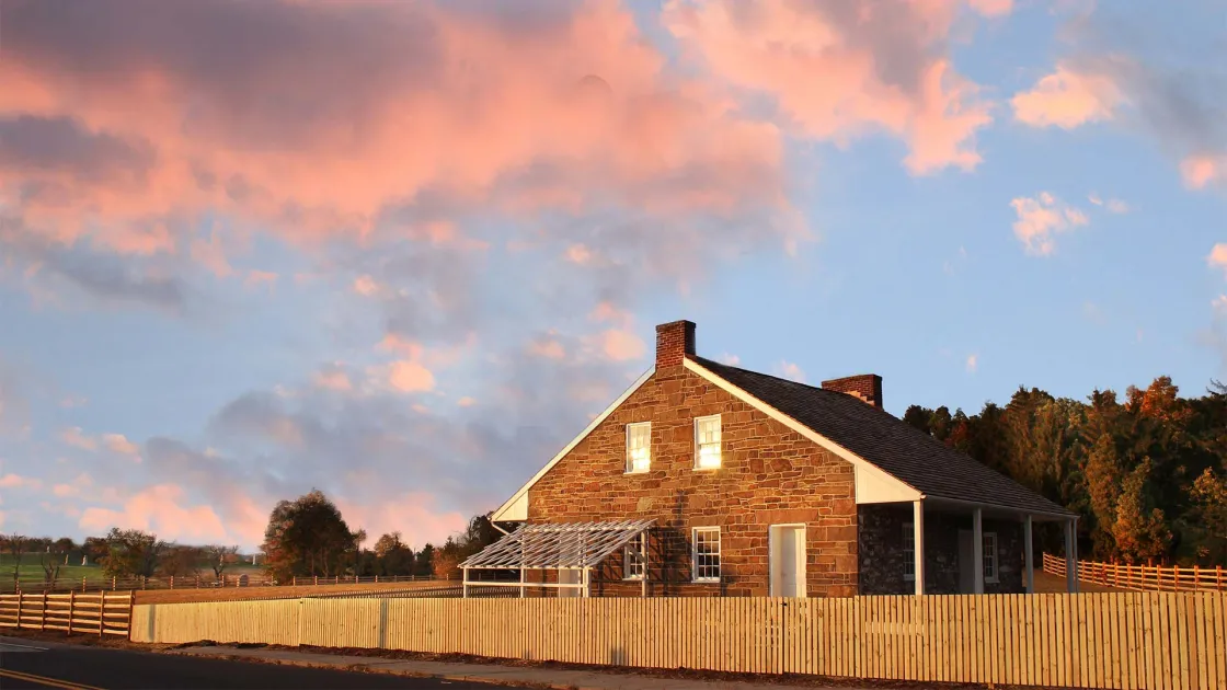
Over the years, the American Battlefield Trust has saved more than 1,000 acres at Gettysburg. This includes land that saw fighting on all three days of the battle. On the first day’s battlefield, we saved land along Willoughby Run and adjacent to Barlow’s Knoll. Farther south, we saved a small but crucial parcel along the Emmittsburg Road over which Lt. Gen. James Longstreet’s men marched on their way to Devil’s Den and Little Round Top on July 2. We also saved key tracts on Power’s Hill, a key Union artillery platform during the fighting on Culp’s Hill. But perhaps most visibly, the Trust has preserved and restored the Mary Thompson House, site of Robert E. Lee’s headquarters during the battle.
What to do:
Start at the Visitor Center, Gettysburg National Military Park.
Then tour the battlefield. You have several options.
- Watch the Gettysburg Animated Map (which you can also do on the big screen at the Gettysburg Heritage Center! It’s at 297 Steinwehr Avenue.)
- For a personalized experience, hire a Licensed Gettysburg Battlefield Guide.
- Download the Gettysburg Battle App for your own driving tour of the battlefield.
- Take the NPS self-guided auto tour.
Don't miss:
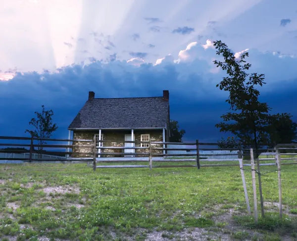
- Gen. Lee’s Headquarters – The preservation and restoration of the Thompson House, which Gen. Robert E. Lee used as his headquarters during the Battle of Gettysburg, is one of the stellar preservation achievements of the American Battlefield Trust. The four-acre tract included a motel and restaurant for many years, with the Thompson home serving as a museum and gift store. The Trust bought the property in 2015, razed the modern structures and in 2016 opened the restored property, which includes a trail and interpretive markers. The historic site is at 385 Lincoln Highway.
- McPherson Ridge (NPS tour stop 1) is in the heart of the first day’s battlefield at Gettysburg. Union Gen. John Reynolds was killed near a memorial to him.
- Barlow's Knoll – Located on Howard Avenue on the NPS tour after stop 3 (Oak Ridge), Barlow's Knoll is where Confederate attackers smashed the Union defensive line on the first day of the battle. The American Battlefield Trust has saved three large tracts near Barlow's Knoll, including 40 acres directly south of the knoll.
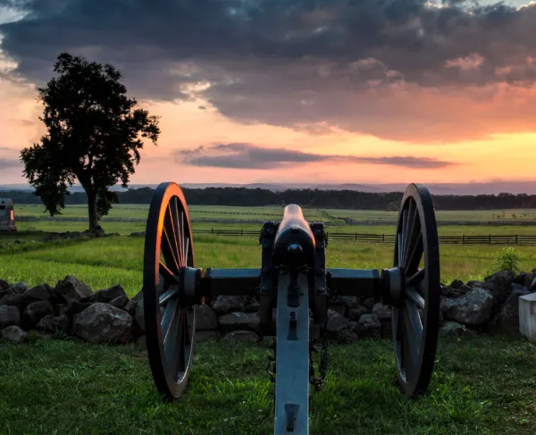
- Virginia Memorial – Here, at stop 5 on the NPS tour, the spectacular Virginia Memorial depicts Gen. Lee on his horse, Traveller, peering across the vast, open plain where his army made its great assault, Pickett’s Charge, on the third day of the battle.
- Little Round Top – Much of the battlefield is in view from this hilltop, NPS tour stop 8, which saw intense fighting on the second day of the battle as Union forces hastily occupied this commanding position and Confederates desperately and unsuccessfully tried to dislodge them.
- Peach Orchard – An ill-advised Union advance by Gen. Daniel Sickles to the area of the Peach Orchard, well in front of the rest of the Union line, threatened Union efforts on the second day of the battle.
- Power’s Hill – As the NPS tour proceeds from stop 12 to stop 13 at Spangler’s Spring, the route turns onto Baltimore Pike for a short distance before turning left onto Colgrove Avenue. While southbound on Baltimore Pike, one can see Power’s Hill in the near distance off to the right; from this hill, Union artillerists shelled Confederate forces attacking Culp’s Hill. The American Battlefield Trust has saved key tracts at Power’s Hill, allowing the National Park Service to open up vistas of Gettysburg’s forgotten landmark. Before long, a trail will cross the property the Trust preserved and provide walking access to Power’s Hill.
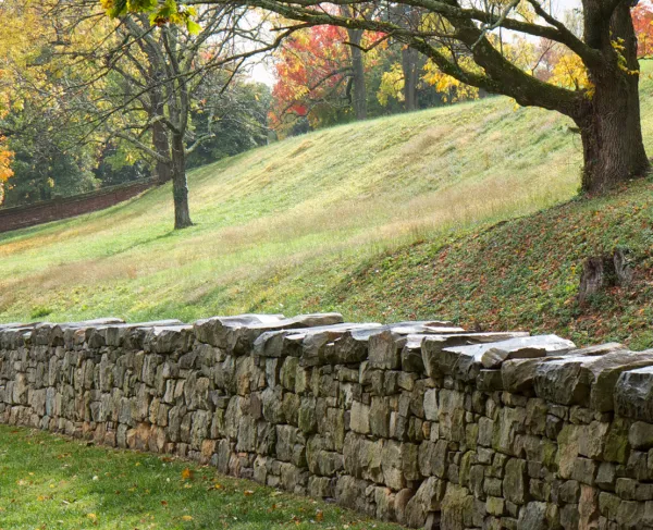
- High Water Mark – Here, at stop 15, the Union line repulsed the Confederate assault – Pickett’s Charge – on the climatic third day of the battle. After a mile’s march across open fields from the area of the Virginia Memorial, the spectacular assault by 12,000 Confederates dissolved at the stone wall and the Copse of Trees in the fury of close-quarters combat.
Related Battles
12,500
6,000
17,304
13,460
17,000
13,000
2,353
1,338
866
433
23,049
28,063
