Malvern Hill | Then and Now
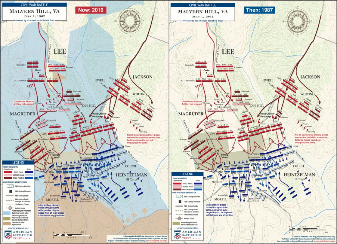
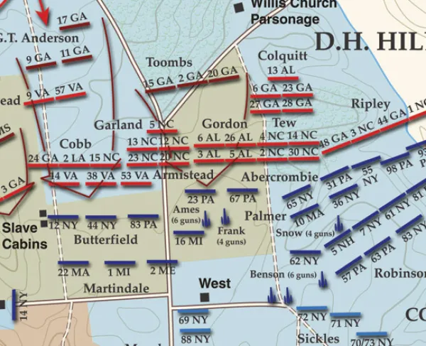
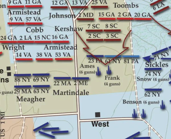
On July 1, 1862, Union artillery posted atop Malvern Hill had clear, open fields of fire to the north of the their position. The infantry line supporting the batteries stretched from Malvern Cliffs along Turkey Creek (or Crewes Run) on the western edge of the hilltop to Western Run on the eastern end. The Crew farm and slave cabins were located west of the Willis Church Road and the West family farm was on the east side. Maj. Gen. Fitz John Porter’s V Corps assumed a position along the western ridge of the hill, while elements of the II, III, IV, and VI Corps occupied the eastern crest toward Western Run, protecting the road to Harrison’s Landing. The brigades in the divisions of Maj. Gen. John B. Magruder, Daniel H. Hill and Benjamin Huger bore the brunt of the casualties in the Confederate attacks.
Prior 1987, the National Park Service preserved 130 acres of the Malvern Hill battlefield, consisting primarily of the Union defensive position. In the last three decades, the American Battlefield Trust and its partners have added considerably to this number, preserving the fields over which the Confederates advanced on July 1, 1862, and the site of the historic Crew House. Today, 953 acres of the Malvern Hill battlefield have been preserved.
Related Battles
2,100
5,600


