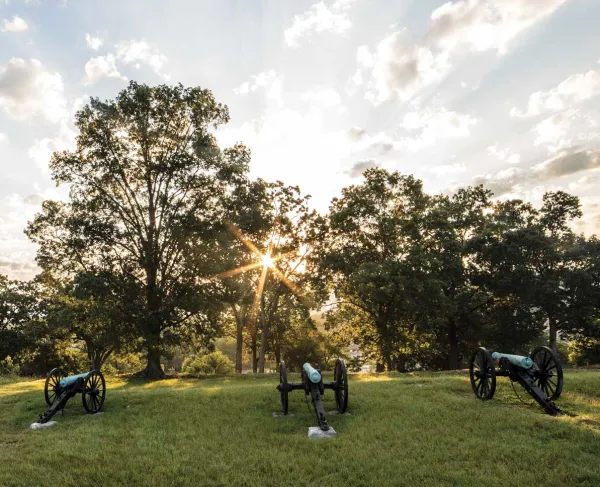
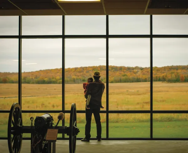
Harris Farm Battlefield, Spotsylvania Courthouse, Va.
Civil War Trails is the world largest “open air museum,” offering more than 1,500 sites across six states. As a battlefield enthusiast, chances are that you’ve come across our iconic “red bugle” signs in your travels. Maybe you’ve even planned a trip with one of our map guides. But even if you’re familiar with Civil War Trails, you probably don’t know the history or inner workings of the program.
Civil War Trails was created in 1994 by a group of historians, including Don Pierce, David Ruth, Mike Andrus and Chris Calkins. They envisioned a way for travelers to leave Richmond and Petersburg and follow the route of Lee’s Retreat to Appomattox turn by turn. The original 12 sites included large billboards with maps and solar-powdered AM radio transmissions so travelers could tune in to hear what happened at places like Cumberland Church. This was the genesis of the program you recognize today.
Today, each Civil War Trails site includes an interpretive sign that helps paint a picture of what happened where the visitor is standing. Every site also has a series of directional “trailblazers” along the highways and byways to help get you to the interpretive site. Finally, each Civil War Trails location is promoted in a variety of ways — perhaps most recognizable are the Civil War Trails map-guides. Our goals are simple: to interpret and promote the significant sites, stories and people of the Civil War era and to ensure you are standing in their footsteps when you arrive.
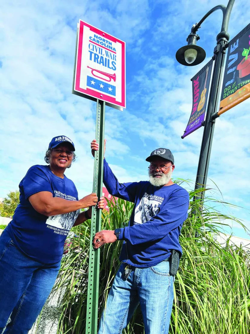
Each Civil War Trails site includes an interpretive sign that helps fuel the imagination about what happened where a visitor is standing. These sites are supported by a system of directional signs, or “trailblazers,” that help travelers know where to stop. Here, members of the 135th USCT Research Group install their sign in Goldsboro, N.C.
Civil War Trails, Inc., is a nonprofit origination that oversees a multistate program with a small but mighty team who make it all possible. Three full-time employees are charged with duties that range from liaising with local tourism agencies to marketing sites, managing inventory and fulfillment requests, responding to visitor inquires and tracking maintenance of existing signs and trailblazers, all the way to digging the holes to install new signs. This staff is overseen by a board of directors that includes appointees from the state travel offices across the breadth of the program, as well as regional directors who represent our dues-paying members.
With more projects on deck than we’ve ever had, the staff and board of Civil War Trails continue to dedicate ourselves to creating, maintaining, and updating the best version of Trails we can. Not only do we want you as a traveler to find our signs engaging and in good shape when you arrive, but we want to make sure the communities that host our sites see us as a resource to help share their stories exactly where they happened.

One of the hallmarks of the Civil War Trails program is our unique content-generation process. Each site is “grown at the grassroots,” meaning that the original application and funding come from community leaders, historical societies, historic sites or descendant groups. These stakeholders are the experts on their own local history, and their involvement throughout the process ensures a sign accurately represents their community’s story while showing off one-of-a-kind source material like diaries, photos and battle maps that can’t be found anywhere else.
This local connection is also fostered by the hands-on approach of Civil War Trails staff. We’re small, but we’ve visited these sites personally and have experienced all the local amenities, meaning we’re happy to share first-hand knowledge and tips with people who reach out to request brochures and plan their travel. We have strong opinions on the best BBQ, beer or bourbon, plus plenty of ideas for other amenities amenities your family might enjoy along the way, from Main Street shopping districts to hiking, cycling and paddling destinations.
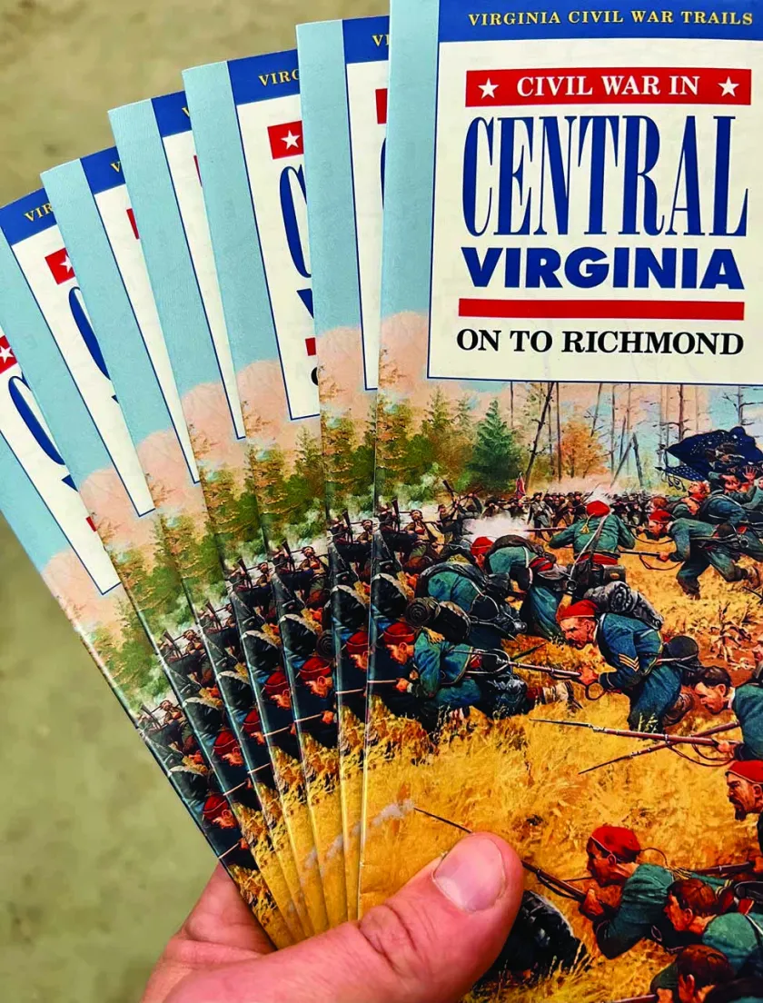
Civil War Trails markets its sites in a variety of ways, but paper brochures have increased in popularity in the last few years. Each state has its own dedicated brochures, and in some areas, municipal partners have created a more specific piece highlighting sites and themes in their region.
We are vigilant that all signs are installed where the historic event occurred or within clear field of vision, grounding our interpretation in the power of place, which makes events resonant more for travelers of all ages and interest levels.
As a new site application moves through the process of review, a sustaining partner must be identified to underwrite the care and upkeep of the sign for years to come, including fabricating new panels if further research enhances the story. These sponsors tend to be municipal offices charged with tourism, marketing and economic development, creating a mutually beneficial partnership. Integrating Civil War Trails sites into state and regional tourism networks ensures visitors are more aware of the full breadth of amenities and resources, likely encouraging a longer stay.
Although Civil War Trails signs are certainly educational, the broader program is an important economic development engine for the municipalities that host Trails sites. As visitors like you travel to stand in the footsteps of history, you might gas up the car, grab a meal, purchase a ticket to a program, stay overnight and score an awesome antique from a local shop. Based on information available in the last few years, the average visitor to historic sites stayed an average of two nights and spent between $1,000 and $1,200 per trip. The income generated by these trips is an important and sustainable source of revenue going back into the hands of service industry employees, historic sites and municipal coffers.
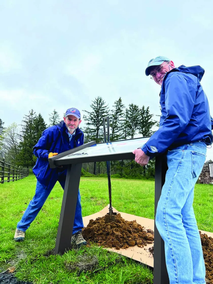
Civil War Trails has long worked hand in hand with the American Battlefield Trust (ABT), and many of the Trust’s properties are marketed as part of the multistate Civil War Trails program. Here, Garry Adelman and Thomas Nank, the ABT’s steward in Gettysburg, help install a new sign at Lee’s Headquarters.
In 2023, the Civil War Trails team and its partners distributed just shy of a quarter million map-guides. This was almost 60,000 more than the year prior — and they are going out to the youngest audience the program has documented to date. With digital fatigue being felt by people of all ages, the program’s paper brochures have continued to increase in popularity. They are not only distributed free of charge but also are stocked at certified visitor centers across the program and are also distributed to individuals from around the world. They are a great reference item to keep at home as you begin planning your trip and can also be helpful to keep in the car as you travel, since many areas have little to no cellular or satellite coverage.
People often ask how they can get involved with Civil War Trails. Of course, as a nonprofit we gratefully accept individual donations. We also always have a list of sites whose sustaining sponsorship has lapsed and are in need of a partner in that more ongoing capacity. And we are always looking for new stories to tell via signs in your community!
However, perhaps the two best ways to get involved can happen during your next trip. If you see a Civil War Trails sign in poor condition or one that might be a bit confusing, let us know about it. Your feedback is instrumental in improving the site and the whole network for the next visitor. Finally, if you see a Civil War Trails sign you really enjoyed, snap a selfie with it and post it with #signselfie and #civilwartrails. This helps inspire other travelers to go visit and will also make the site sponsors excited to see people out exploring locations in the program.
Even with 30 years under its belt, Civil War Trails shows no sign of slowing. At one point last year, we had more than 200 projects on deck — more than at any point during the Civil War Sesquicentennial! And our wish list is longer still; however, those have a longer path as we must still secure landowner permission and funding, as well as content. With so many stories to tell and with a record-setting number of map requests from our youngest and most diverse audience to date, the future of Civil War Trails is bright.