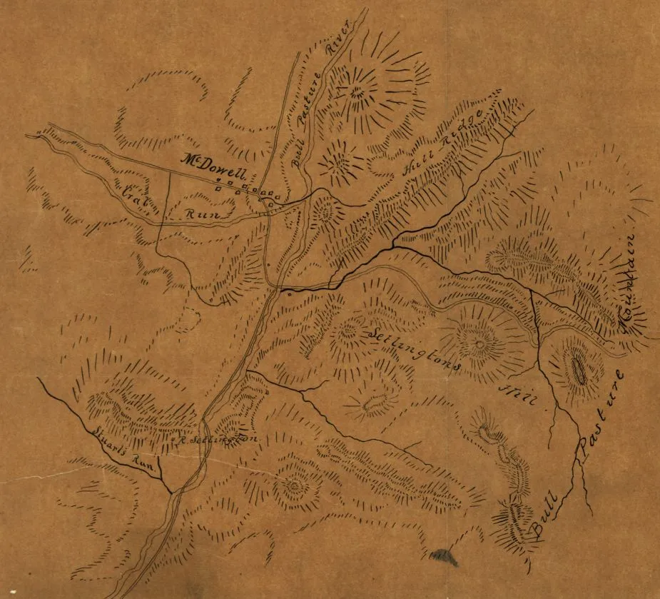
Sketch of the Vicinity of McDowell, Va.
Historical map of McDowell, Virginia
McDowell and the surrounding vicinity circa 1862
Relief shown by hachures.
Drawn on tracing paper.
Reference: LC Civil War maps (2nd ed.), H94
[Scale ca. 1:31,680].
Library of Congress Geography and Map Division Washington, D.C. 20540-4650
Learn More: The Battle of McDowell


