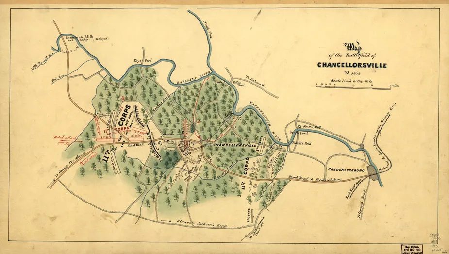
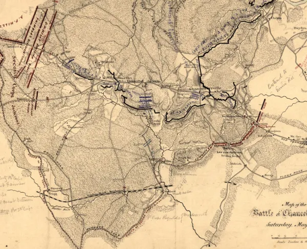
Map of the Battlefield at Chancellorsville
Historical map of the Battle of Chancellorsville
Map of the battlefield of Chancellorsville, Virginia, 1863
[S.l.], 1863.
Scale 1:63,360.
Reference: LC Civil War Maps (2nd ed.), 528
Shows troop positions and movements, roads, railroad, drainage, fords, and vegetation.
Description derived from published bibliography.
Library of Congress Geography and Map Division Washington, D.C. 20540-465
