Map of country between Yorktown and Williamsburg in Virginia
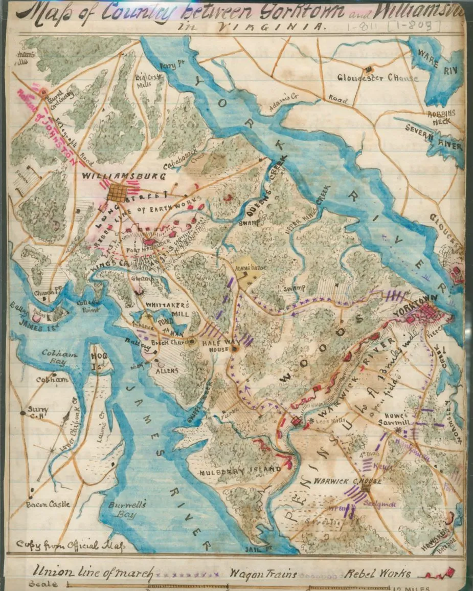
Map of Country Between Yorktown and Williamsbu[rg] in Virginia, by Robert Knox Sneden.
Library of Congress
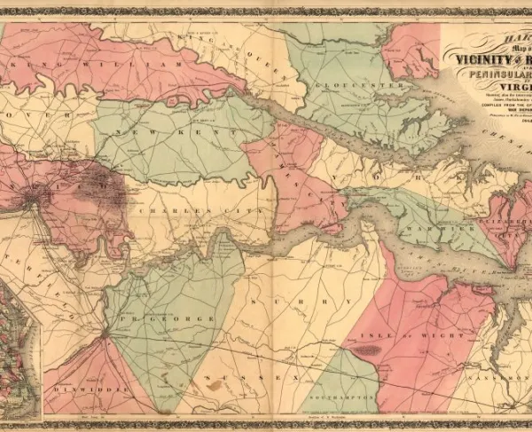
Historical map of the Battle of Williamsburg
Map of country between Yorktown and Williamsburg in Virginia
Sneden, Robert Knox, 1832-1918.
Shows a portion of the peninsula outlined by the York River to the north and the James River to the south. Sneden marked the Union line of march, wagon trains, and Confederate works, all related to the Peninsula Campaign, March-July 1862.
This item is from the collections of the Virginia Historical Society
Robert Knox Sneden scrapbook (Mss5:7 Sn237:1), Virginia Historical Society.
In the Robert Knox Sneden diary, 1861-1865 (v. 1, p. 811).
Scale ca. 1:190,000.
Virginia Historical Society, P.O. Box 7311, Richmond, VA 23221-0311 USA
Learn More: Battle of Williamsburg


CalltoArms
An Unprecedented Chance to Protect 27.5 Acres of Hallowed Ground!
From Jackson’s “Stonewall” stand to Hancock’s superb leadership, these battlefields shaped the course of the Civil War. Today, they face immense...


