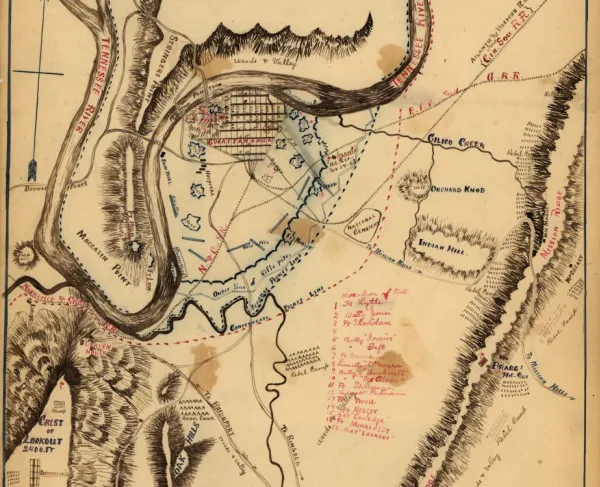
Sketch of the battles of Chattanooga
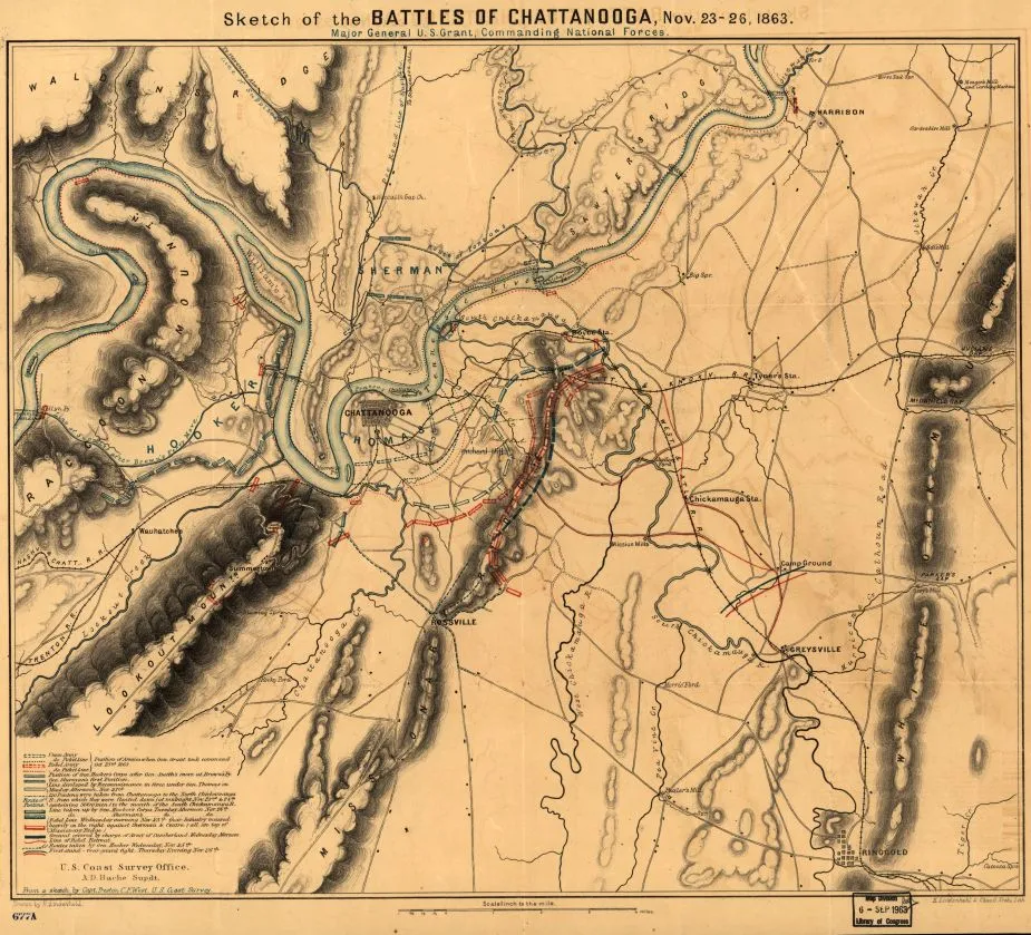
Sketch of the battles of Chattanooga
Library of Congress
Historical map of the Battles of Chattanooga
Sketch of the battles of Chattanooga, Nov. 23-26, 1863 U.S. Coast Survey Office, A. D. Bache Supdt. From a sketch by Capt. Preston C. F. West, U.S. Coast Survey. Drawn by H. Lindenkohl.
[S.l., H. Lindenkohl & Chas. G Krebs, Lith., 1863]
Scale 1:63,360.
Reference: LC Civil War Maps (2nd ed.), 400.4
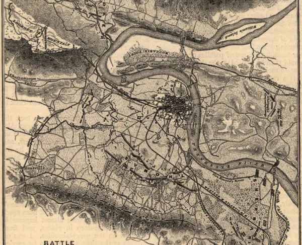
Map of the environs of Chattanooga showing troop positions and movements, roads, railroads, towns, drainage, and relief by shading.
Description derived from published bibliography.
Library of Congress Geography and Map Division Washington, D.C. 20540-4650
Learn More: The Battle of Chattanooga