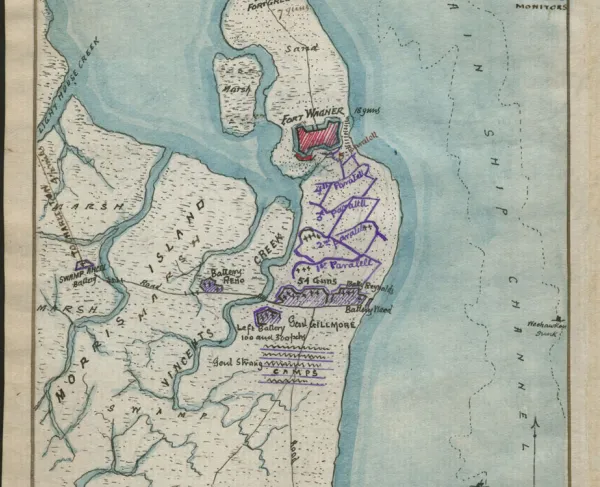
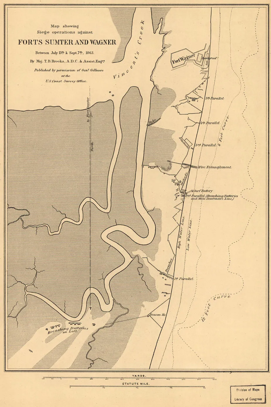
Siege operations against Forts Sumter and Wagner, between July 13th & Sept. 7th, 1863
Historical map of Forts Sumter and Wagner
Siege operations against forts Sumter and Wagner, between July 13th & Sept. 7th, 1863
Maj. T. B. Brooks, A.D.C. & Assist. Engrs. Published by permission of Genl. Gillmore at the U.S. Coast Survey Office.
Brooks, T. B. 1836-1900. (Thomas Benton),
[S.l., 1863]
Scale ca. 1:6,750.
Reference: LC Civil War Maps (2nd ed.), 389
Shows drainage, roads, high and low water line, 6-ft. and 12-ft. depth curve, batteries, trenches, stockades, and a plan of Fort Wagner. Fort Sumter does not appear on this map, only the line of fire to the fort from the breaching batteries south of Fort Wagner.
Description derived from published bibliography.
Library of Congress Geography and Map Division Washington, D.C. 20540-4650
Learn More: Fort Sumter & Fort Wagner