Sketch of Charleston Harbor
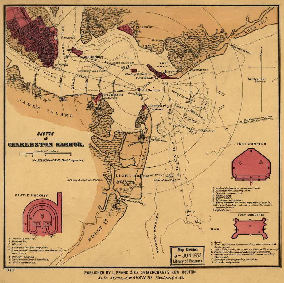
Sketch of Charleston Harbor, by W. A. Williams. Lithographed by L. Prang & Co.
Library of Congress
Historical map of Charleston Harbor
Sketch of Charleston Harbor By W. A. Williams, Civil Engineer
Williams, W. A.
Boston, L. Prang & Co., [186-?]
Scale ca. 1:70,000.
Reference: LC Civil War Maps (2nd ed.), 385
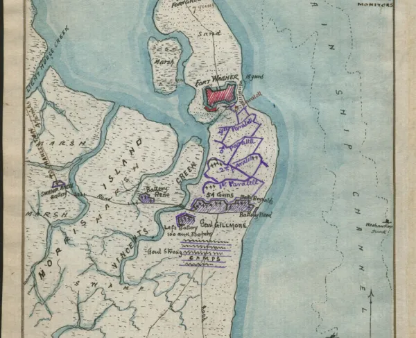
Shows fortifications, street pattern of Charleston, vegetation, and a few soundings.
Insets: Castle Pinckney. 7 x 5 cm-Fort Sumter [sic]. 7 x 6 cm-Fort Moultrie. 5 x 6 cm.
Description derived from published bibliography.
Library of Congress Geography and Map Division Washington, D.C. 20540-4650
Learn More: Siege of Charleston