Map of Resaca and vicinity
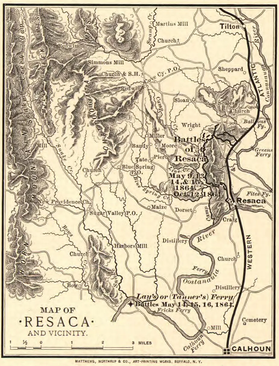
Map of Resaca and vicinity
Library of Congress
Historical map of Resaca, Georgia
Map of Resaca and vicinity prepared by Matthews, Northrup & Co. 1864
Prepared for and presented with compliments of Western and Atlantic R.R. Co.
Buffalo, N.Y., Matthews, Northrup & Co., Art-Printing Works, [1864]
Scale ca. 1:165,000.
Reference: LC Civil War Maps (2nd ed.), 203.5
Map of the environs of Resaca showing entrenchments, roads, railroads, towns, drainage, and relief by hachures.
Description derived from published bibliography.
Library of Congress Geography and Map Division Washington, D.C. 20540-4650
Learn More: Battle of Resaca


CalltoArms
Save 438 Acres Across These Seven Battlefields
Join us in protecting 438 acres across seven battlefields—from Glorieta Pass to Resaca—where each fight shaped what came next and helped determine the...


