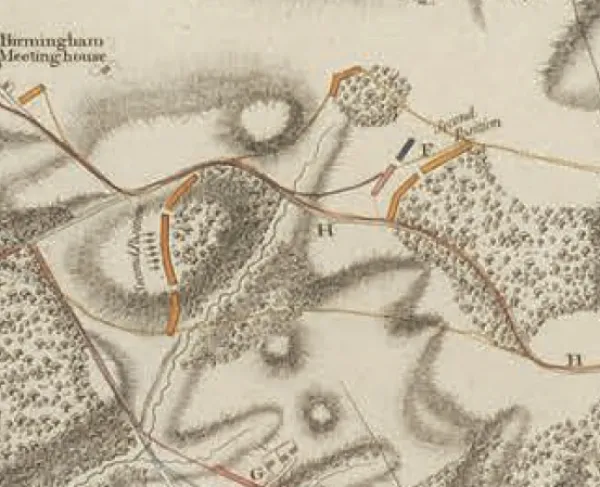
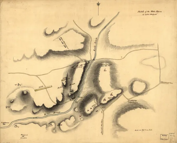
Great Bridge - December 9, 1775
Historical map of the Revolutionary War Battle of Great Bridge, Virginia, on December 9, 1775.
This is a replication of a finished, colored, topographical map depicting the site of the battle of Great Bridge, Virginia, December 9, 1775.
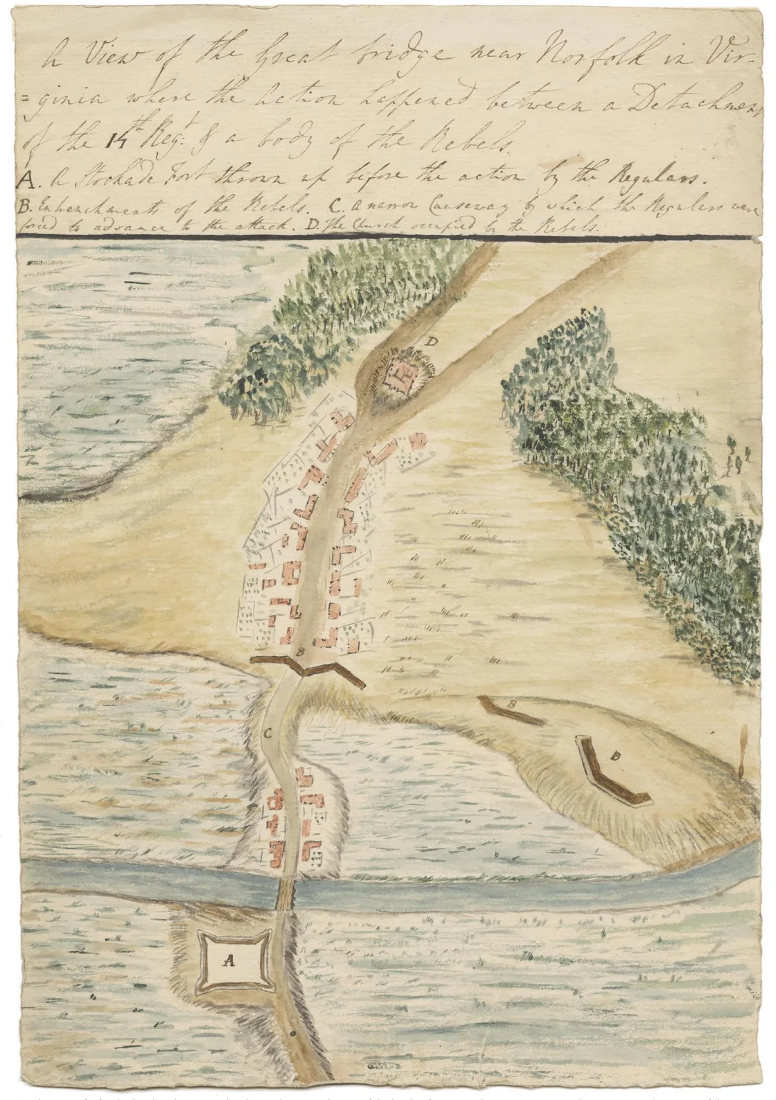
On the morning of the 9th, the Tories wheeled two cannons into place and opened fire, attempting to break apart the Whig breastworks. Thinking that this was simply the Tories attempting to disrupt their morning, few Whigs moved until one militia captain called his men to arms, seeing an approaching column in red. The men in red were the Light Infantry and Grenadiers of the 14th Foot, led by Captain Charles Fordice and Lieutenant John Batut. Further back, a large Tory reserve under the command of Captain Samuel Leslie stood ready to exploit any breakthrough.
As the British soldiers advanced up the causeway six men abreast, they fired by platoons. As one platoon fired, the other would reload. As the British got closer, the Whigs unleashed a withering volley. Both Batut and Fordice went down, and the causeway was scattered with the dead and dying.
The battle lasted less than an hour. By the time it was over, the British had lost more than 100 men killed and wounded. Only one Whig was wounded. Within the next few days, the Whigs entered Norfolk, Virginia.
Title: A view of the Great Bridge near Norfolk in Virginia where the action happened between a detachment of the 14th Regt: & a body of the rebels.
Author: Francis Rawdon-Hastings, Marquess of Hastings.
Courtesy of William L. Clements Library, University of Michigan.