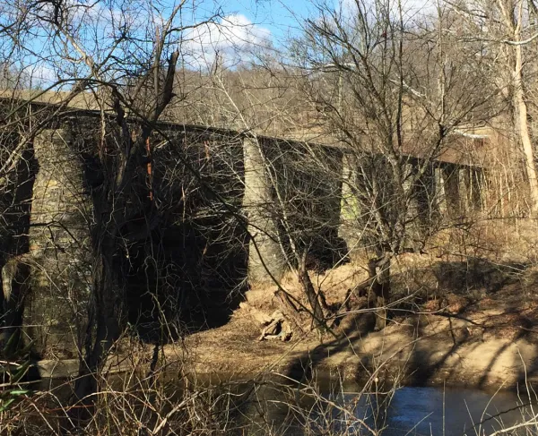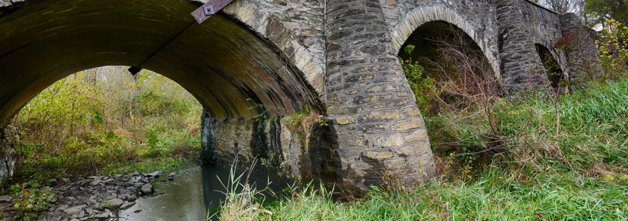
Goose Creek Bridge, Upperville Battlefield, Loudoun County, Va.
Any study of American military history will unveil how crucial to the outcome of a battle that nearby bodies of water typically proved to be. Rivers like the Mississippi, the Rappahannock and the Potomac provided vital routes of transport and protection during the Civil War. And no one can forget the famous crossing of the Delaware by General George Washington in the winter of 1776, forever cemented in our minds via the 1851 painting by Emanuel Leutze.

So, it’s not surprising that the preservation of these hallowed grounds not only protects access to many communities’ water sources, but also greatly impacts the quality of them.
Development pressures, in the form of residential neighborhoods, data centers, solar farms and distribution facilities, threaten to disrupt and destroy ecological foundations of the surrounding areas. But, when parcels of land are saved through preservation, water quality is ensured — as the native greenery filters sediment and prevents runoff. When land is restored to its historical state, the returning flora begins to do the same for nearby rivers.
Goose Creek, Upperville Battlefield
The Chesapeake Bay Watershed, one of the nation's most important watersheds, is home to 113 major Civil War battlefields, nine major War of 1812 battlefields and four major Revolutionary War battlefields. To date, the Trust has preserved 26,553 acres in the Chesapeake Bay Watershed, including 1,151,140 linear feet of rivers and streams. Among these areas is the Goose Creek Bridge at Virginia’s Upperville Battlefield, a thriving riparian corridor where native trees and plants filter sediment and hold the creek bank firm, improving water quality and habitat.
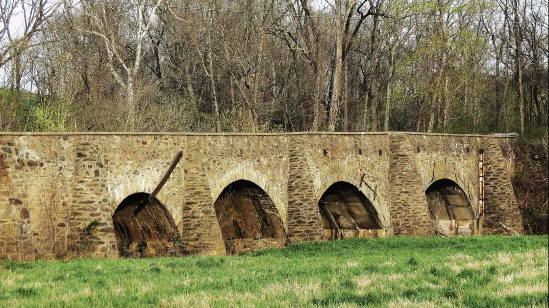
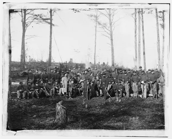
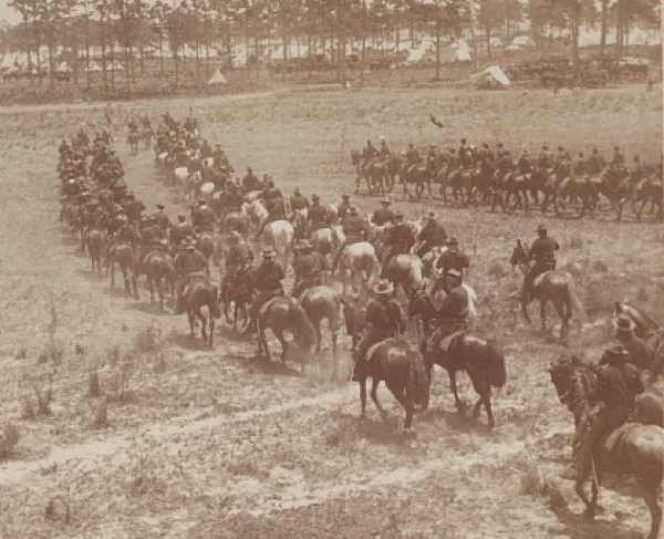
As part of the Trust’s preservation and conservation efforts in 2017, 20 acres surrounding the 200-year-old stone-arch bridge, were transferred to NOVA Parks to create a public park with trails and interpretation. During the Battle of Upperville, the Goose Creek Bridge witnessed artillery, infantry and cavalry clashes where General J.E.B. Stuart held off a Federal advance just 10 days before the bloody Battle of Gettysburg. Today, the area is a public park where visitors can swim, kayak or enjoy hiking trails.
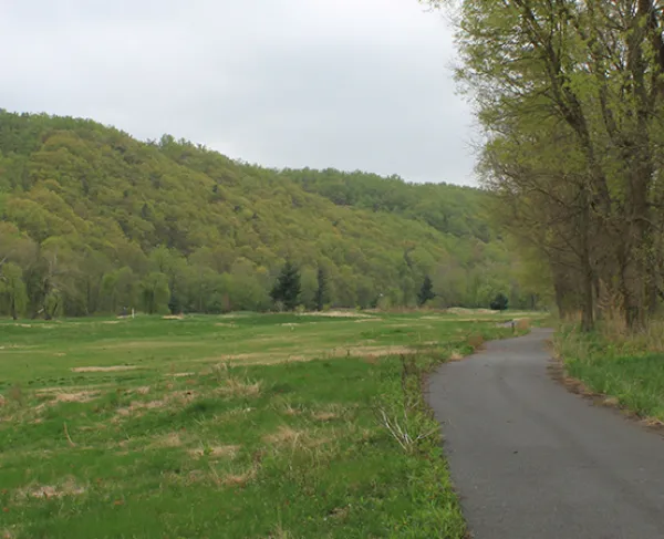
Shenandoah River, Cool Spring Battlefield
Along the Shenandoah River, at the Cool Spring Battlefield in Clarke County, Virginia, preservation efforts have transformed a former golf course into a battlefield park and outdoor university classroom. On July 18, 1864, Confederate troops clashed here with Union cavalry pursuing General Jubal Early’s army as it withdrew from Washington, D.C. The site was protected through a partnership between the Trust and Shenandoah University that began in 2011. Thanks to a perpetual conservation easement, the site will remain forever pristine and free of development that threatens the land and the river.
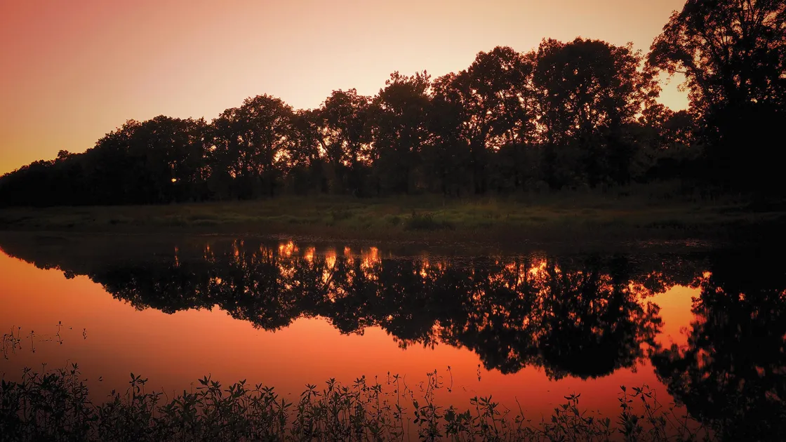
The university, which has owned the site since 2013, utilizes its natural benefits for both education and recreation. The rich green spaces on the banks of the Shenandoah River are ideal for gathering outdoors, and, as such, professors and students use this area to hold classes, programs and other activities. Students pursue both interpretation of the battlefield and research into native habitats and water quality.
Cool Spring is now a local destination for walking, biking, bird watching and other wildlife observation. Commonly seen creatures include bald eagles, cormorants, red-winged blackbirds, a nesting colony of great blue heron, bats, and a dozen species of turtles, red foxes, muskrats, deer and beavers. Notable flora includes large swaths of Virginia bluebells, century-old giant sycamores, silver maples, box elders and the rare bur oak.
Preserving and conserving sites, such as the aforementioned spots at the Upperville and Cool Spring battlefields, not only saves vital places for historic context, study, exploration, and recreation, but also protects the substance that serves as the basis of all life as we know it — water.
Related Battles
209
180
