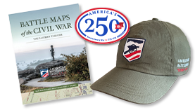
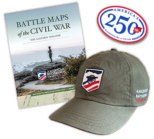
Civil War Stuff: Maps
Partner Event
July 16, 2026 @ 1:00 PM - 2:00 PM EDT
Washington, DC
Join a ranger at the Rock Creek Nature Center and Planetarium to explore how maps were created and used during the American Civil War. The program will look at how soldiers, commanders, and civilians relied on maps for navigation, strategy, and understanding the landscape around them.
Please note that the Nature Center building is currently closed to the public. This program will be held outside of the building. Due to the closure of the Nature Center, this program will take place outside when scheduled at this location.
Contact